Vadim Petrakov / Shutterstock
Jerusalem Travel Guide
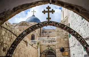
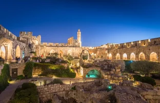
Jerusalem measures its history in millennia. A spiritual center for Jews, Christians and Muslims, this city draws visitors from every corner of the Earth, not only for its tourist attractions, but also for its religious shrines (although many sites serve as both). Whether travelers spend their time in the historic Old City or the Yad Vashem Holocaust Museum, praying at the Temple Mount or listening to jazz at the Bible Lands Museum, the energy and tradition of this ancient city puts the past into the present tense.
Things to Do
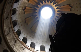
Nothing compares to your first sight of the Western Wall of the Temple of the Mount, with crowds of swaying believers praying before its ancient stones. This temple wall, dating back to Herod, remains one of the most sacred sites in all Jerusalem. Above, the gleaming gold Dome of the Rock reflects the sun, and around this spiritual and geographic center the narrow lanes of Jerusalem's Old City look as though they'd been lifted out of a Bible storybook.
Shopping
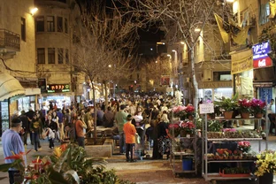
Shopkeepers in the Ben-Yehuda area and the Jewish Quarter of Jerusalem's Old City fill their shelves with bronze reproductions of wall menorahs from North Africa, medieval Italy and Eastern Europe. But it's not difficult to find other religious items, beaded jewelry and Israeli crafts throughout Jerusalem, ranging from colorful porcelain to intricately carved crucifixes, chunks of incense and embroidered yarmulkes.
Nightlife and Entertainment
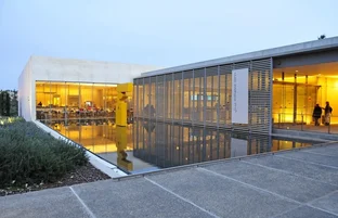
Jerusalem's reputation as a musical center is well-deserved. The Israel Museum showcases a wide variety of performing arts, from music to dance, film and theater. Likewise, the Bible Lands Museum offers Saturday evening jazz, folk and classical concerts preceded by a wine and cheese reception. While Jerusalemites aren't big on clubbing, favorite gathering spots include Ben-Yehuda Street, with lots of outdoor tables, and the very stylish King David Hotel bar.
Restaurants and Dining
Jerusalem specializes in simple fare, easily and widely found at carry-out restaurants and lunch counters. Feast on falafel and schwarma sandwiches loaded with fresh vegetables on Agrippa Street. The Iraqi-Jewish sabbiyah sandwich sold throughout town is a favorite, a tender pita stuffed with fresh vegetables and egg. The finest restaurants in the city lie in West Jerusalem, where the freshest of local seafood and vine-ripened produce are served in secluded courtyards and out-of-the-way streets.