

Clay Wood
The great state of Utah is internationally known for its outstanding outdoor bounty, specifically its skiing (thanks to what locals call “the greatest snow on Earth”) and its five mighty red rock national parks. Third to only Alaska and California in states with the most federal parks, Utah actually overtakes the much larger California when you throw in national monuments and protected forests. In 1984, the best of Utah's high-country mountains east of Salt Lake City were officially designated the High Uintas Wilderness. To this day, they remain the state’s best-kept secret.
For lots more trip planning help for the American West, check out our affordable and downloadable guides to Utah; Bryce Canyon National Park; and Moab, Arches, and Canyonlands National Parks.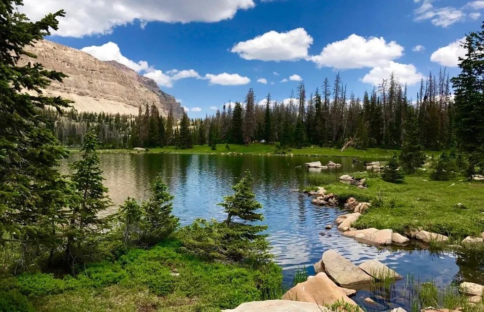 With nearly half a million acres, hundreds of lakes, and more than 500 miles of trails, the High Uintas are an ideal spot for anyone seeking solitude, fantastic fishing, or alpine adventure. In addition to the surrounding East-West Uinta mountains, park-like meadows, pristine ponds, endless streams, and lush wetlands dominate the landscape. Yet visitorship here is much lower than what you'd find at a national park. Even during peak summer season, the remote Ryder Lake (pictured above) might be shared by fewer than a dozen campers.
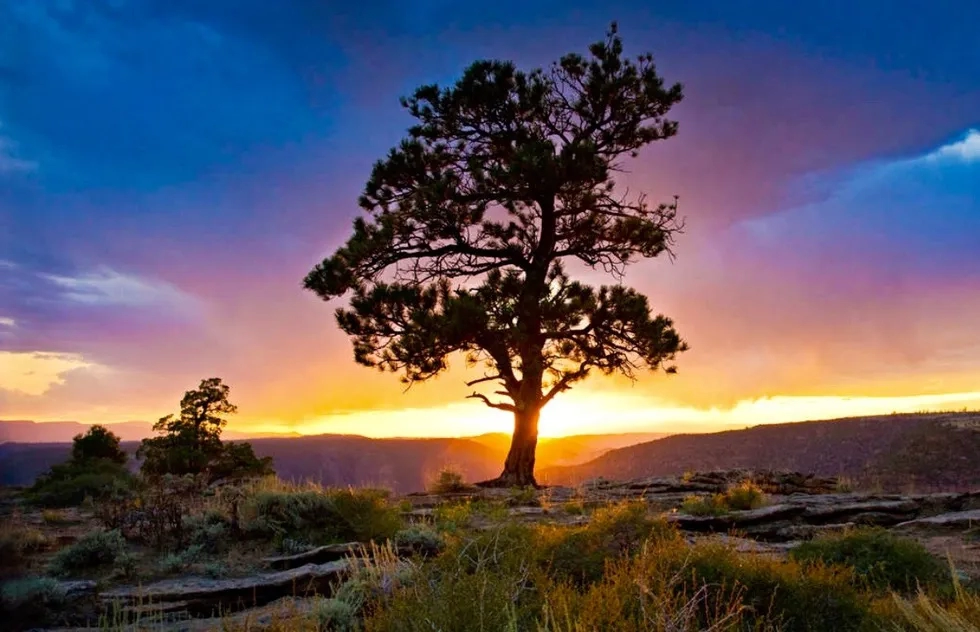 The High Uintas are the largest alpine area between the much more popular Rocky Mountains and Sierra Nevada chains. Situated on a high tundra, the Utah wilderness was formed by glaciers millions of years ago and now the crest runs for 60 miles more than 6,000 feet above sea level. The state’s highest summit, King's Peak, is 13,527 feet tall. Pictured above, a ponderosa pine sits on a canyon rim overlooking one of the spectacular sunsets that are common here.
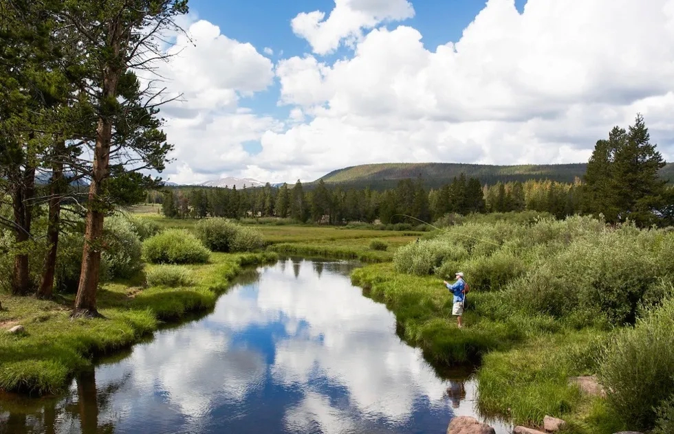 Beneath barren peaks, green meadows and a network of streams connect numerous reflective lakes and ponds. The High Uintas are the center of an expanse of unspoiled land that includes two larger national forests, Wasatch-Cache National Forest to the west and Ashley National Forest to the east. Fly fishermen cast lines for what many consider to be the best-stocked, most remote, and least-fished area in nearly 100,000 square miles.
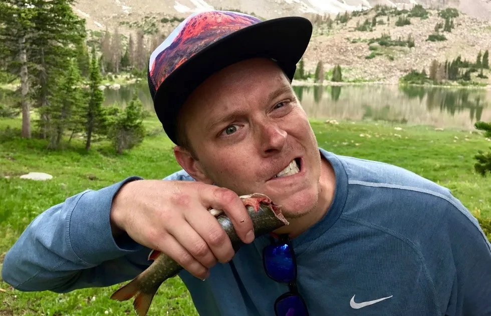 Although small compared to bass or catfish, brook trout are the primary species of fish caught here, and they do a good job of feeding week-long campers for up to three meals a day. Related to salmon, “brookies” (as they're colloquially called) are as delicious as they are easy to catch. Even amateurs can reel in dozens over a long weekend.
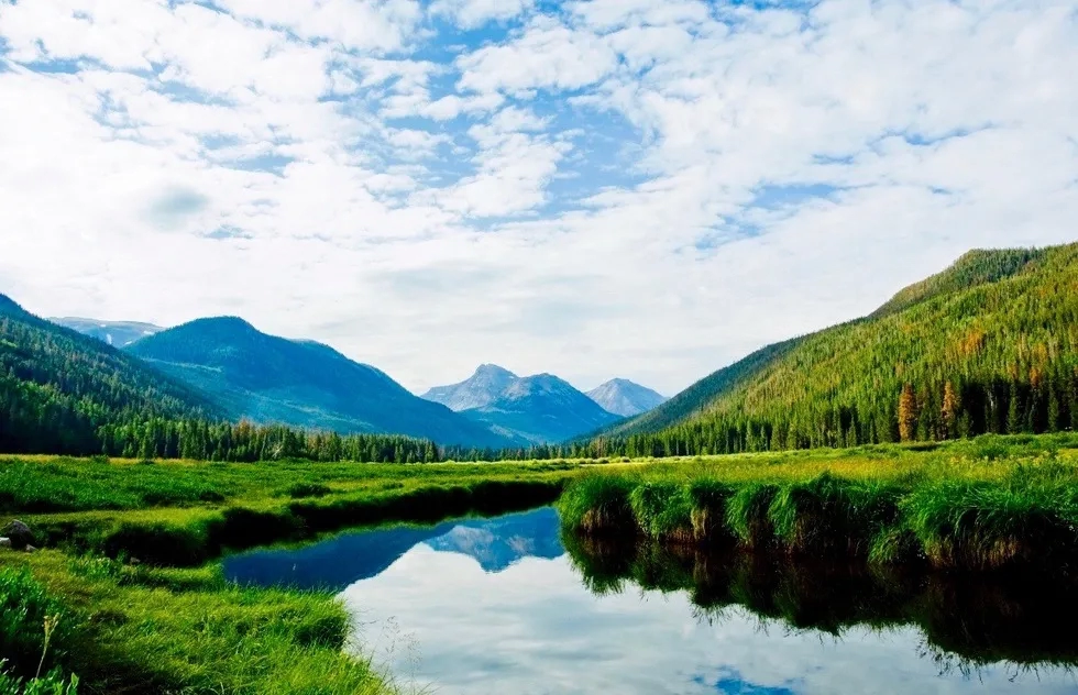 For many, Christmas Meadows is the starting point to some of the area’s most popular hikes: to Amethyst Lake (12 miles round-trip), Ryder Lake (16 miles round-trip), and Kermsuh Lake (13 miles round-trip). “Popular” is a relative term here—it may mean passing just one or two other parties on the trail and having the lakes largely to yourself, even in summer. Stillwater Creek (pictured above) leads to higher basins below azure skies that have a reputation for quickly turning into brief but fierce thunderstorms.
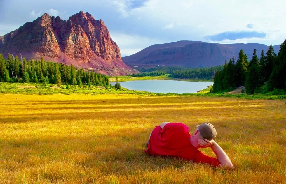 Although not the highest peak in the Uintas, Red Castle is likely the most picturesque, especially when sunrise and sunset give the otherwise slate-colored mountain a burnt orange hue. Above, a visitor takes in the dramatic view in summer, when average temperatures are in the mid 70s. You can also visit the High Uintas in spring and fall, but the region is largely inaccessible in winter due to the seasonal closure of Mirror Lake Highway, from which many trailheads originate.
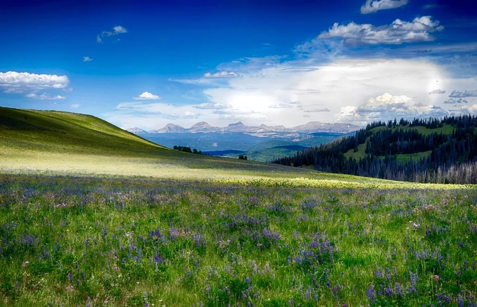 Taken as a whole, the connecting Wasatch-Cache National Forest and Ashley National Forest make the region second only in size to the gargantuan Grand Staircase-Escalante National Monument in southern Utah. With all those trees, you’ll find no shortage of firewood or shelter, and in between, you'll cross breathtaking meadows that will stop you in your tracks. Pictured above is a panorama of the High Uintas in the far distance as seen from Mill Hollow Road—a vacation here is full of moments like these.
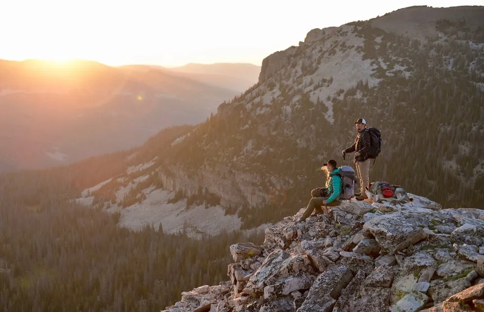 The Lofty Lake Loop (pictured above) is a lightly trafficked but still impressive moderate day hike that begins just off of Mirror Lake Highway. Primarily used for short walks, trail running, and fishing from June until September, it may look intimidating, but no special equipment or rock climbing skills are required.
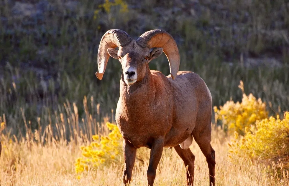 Visitors sometimes refer to the High Uintas as a less crowded Yellowstone or a small-scale Lake Tahoe. The wealth of animals in residence certainly matches those sites. Bring a camera—the mountains are home to elk, mule deer, moose, mountain goats, coyotes, black bears, otters, cougars, pine martens, a whopping 75% of Utah’s bird species, and the intimidating bighorn ram (pictured above).
For lots more trip planning help for the American West, check out our affordable and downloadable guides to Utah; Bryce Canyon National Park; and Moab, Arches, and Canyonlands National Parks.