Thong Chai / Shutterstock
New York City Travel Guide
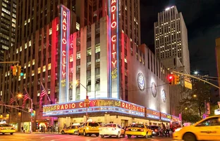
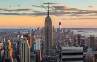
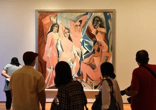
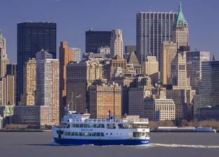
There is simply no place in the United States as brimming with as many attractions and things to do as New York City. Those of us who live here open our doors to incredible options each and every day: The chance to experience the best and newest things to see in the worlds of art, theater, dance, and music; the ability to feast on expertly prepared foods from all over the world; the belief that we can make our voices heard on political issues, in this news media capital of the nation; and the opportunity to meet today’s movers and shakers. The ambitious come here because they know that if they want to achieve a certain level of prominence in their careers or in the eyes of the world, New York is the place to do it. (Are you humming, “If I can make it there, I’ll make it anywhere," right now?)
There’s a factual basis to this New Yorker’s pride. Because of the density and diversity of our population; our long history as a center of commerce and ideas; our access to the United Nations, Wall Street, and the opinion makers of the United States; and endless other resources, there’s simply more here than in other places. And if that claim seems extreme, well, you’ll just have to regard boastfulness as another unavoidable characteristic of “the Big Apple.” What would New Yorkers be without our big mouths?
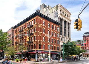
In visiting New York, you, too, are opening yourself up to a world of wonderful opportunities. In fact, that’s what can make New York so intimidating to visitors: There are just so many darn choices. But we've sorted through a myriad of options, selecting some favorites to help you hit the city’s highlights.